
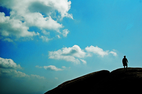
I ascended Seoul’s tallest mountain yesterday, sweating and panting as I finally stood next to the Korean flag planted at the mountain’s top. The peak is 836.5 meters from the base (about 2800 feet) and the view from the top overlooks all of northern Seoul.
The hike was about four kilometers and it took my friends and me about five hours to venture up to the peak and back down to the base, where we enjoyed food at a mountain restaurant next to a stream. The stream was clean, wide, cold and descended at a healthy pace so a fellow named Andrew and I jumped in before we ate a seafood pancake (해물파전) and drank Korean rice wine (먹거리). It was 8:00 p.m. before I returned home, but the view from the top was worth the entire day.
The distant city encroaches northward toward the mountain peak, the major city avenues lined with tall skyscrapers and the smaller streets rimmed by shorter buildings. Apart from the distance, the view of the buildings was further reduced by smog and the effect from such a height was a gentle rippling among taller and shorter buildings. It reminded me of swells at sea.
The entirety of the city is not visible from even this tall peak. At the horizon line is the Han River, a river which bisects the city in two. Even half a mile toward the sky, I cannot see the whole city; Seoul’s population is greater than New York City’s and also slightly greater than Los Angeles’.


3 comments:
Rock on Andrew, rock on. Would you like to be an ex-patriot Husky with me?
Which mountain is this?
Great blog by the way. Amazing photographs.
I was hiking at 복한산, (I believe that is the correct spelling)
Thanks for the compliments!
Post a Comment